Maps and More
Explore Campbell Park through the wonderful world of maps and orienteering.
Summary
Discover Campbell Park through the wonderful world of maps and orienteering!
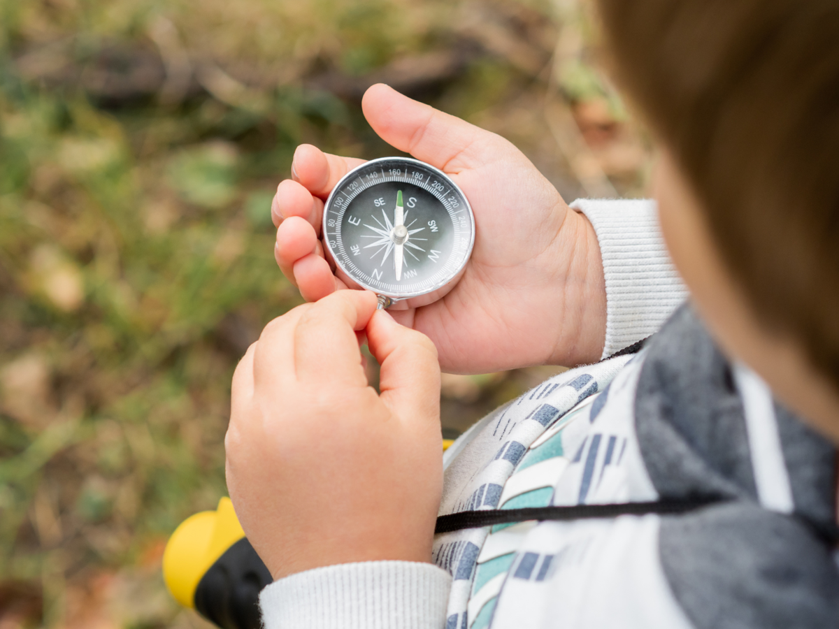
Your students will get to grips with grid references, map symbols, compass skills and cardinal points through interactive activities and team challenges.
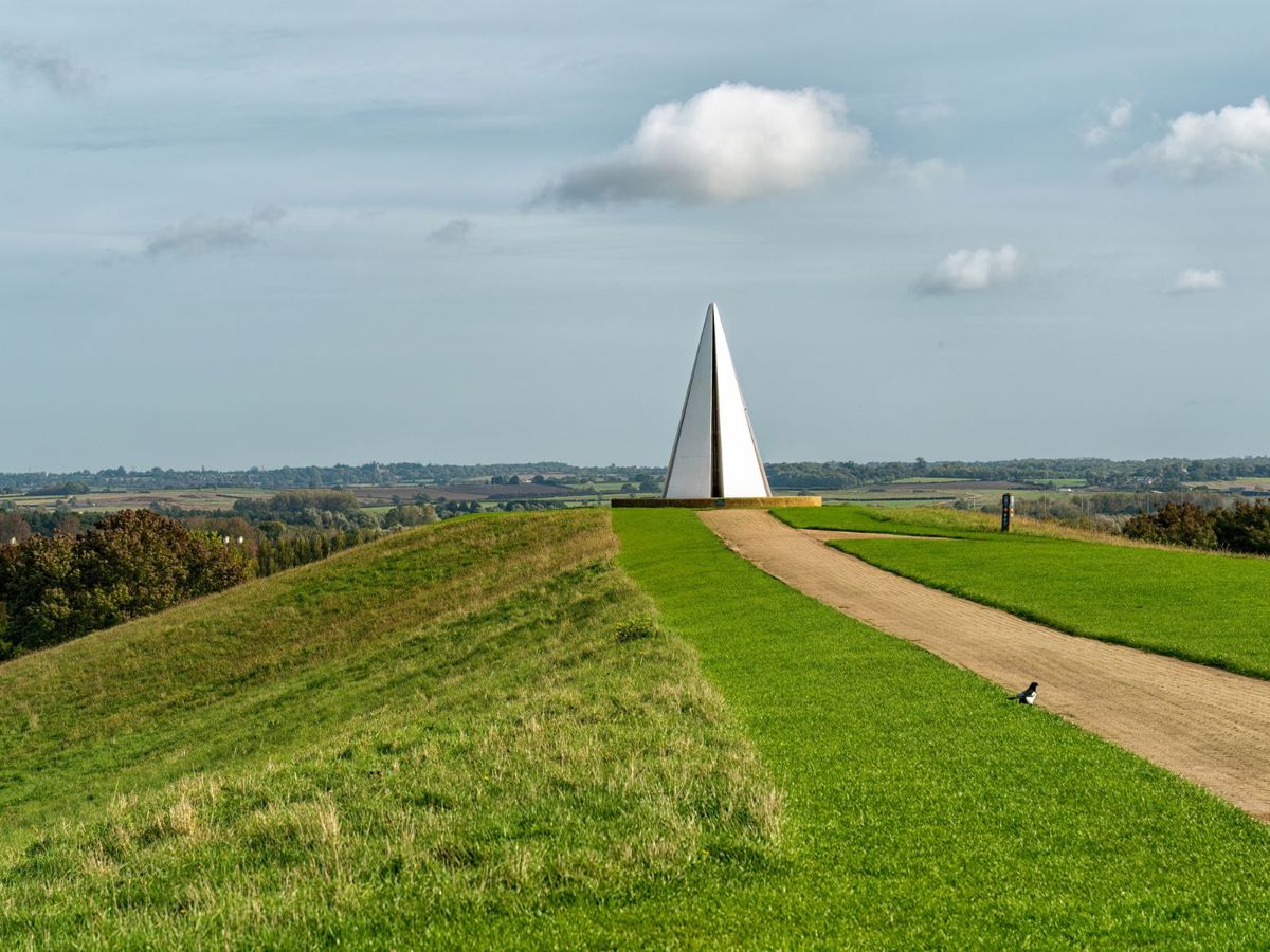
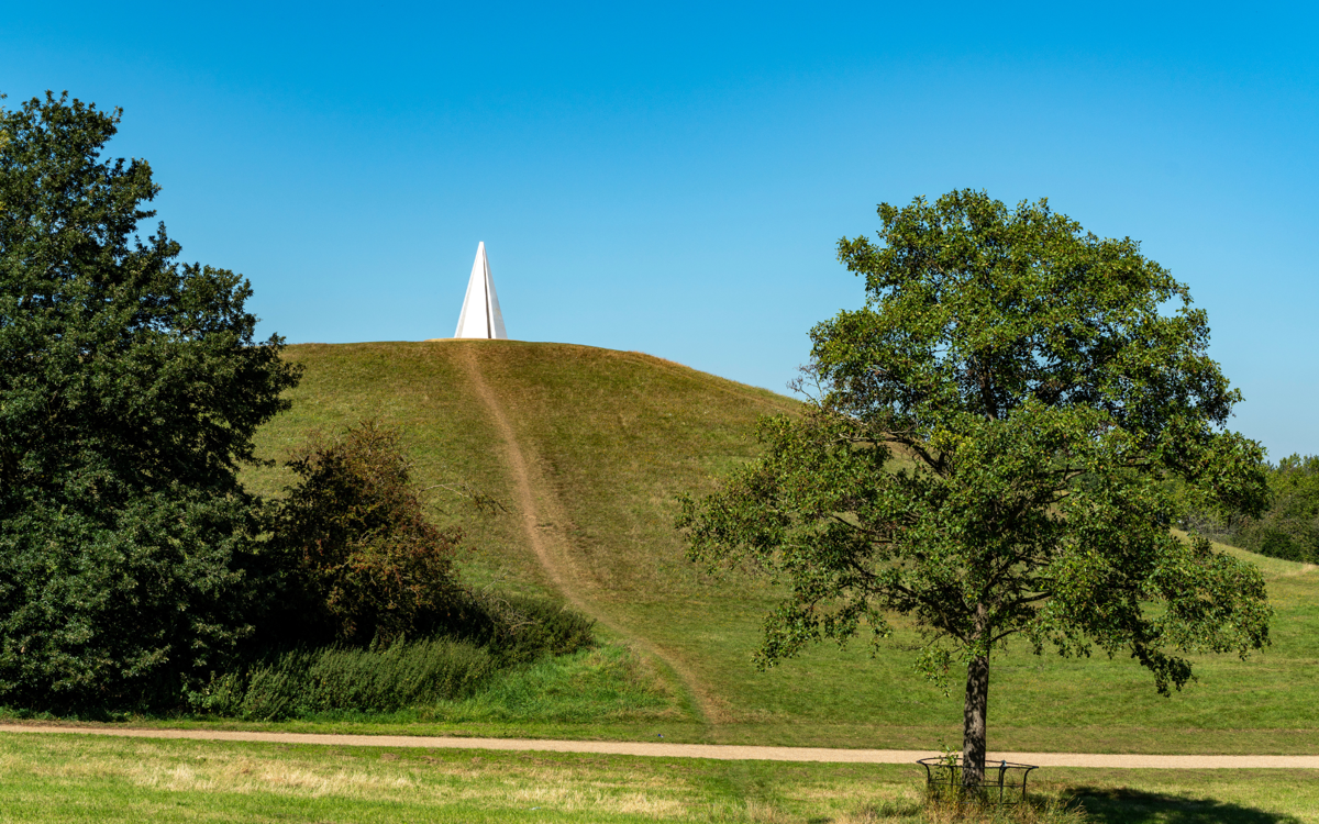
This session is currently only delivered in Campbell Park as it uses some of the landmarks here as navigational points.
National Curriculum Links
- Use aerial photographs and plan perspectives to recognise landmarks and basic human and physical features.
- Use four and six-figure grid references to build their knowledge of the United Kingdom and the wider world.
- Use world maps to identify the United Kingdom and its countries. The use of Ordnance Survey maps.
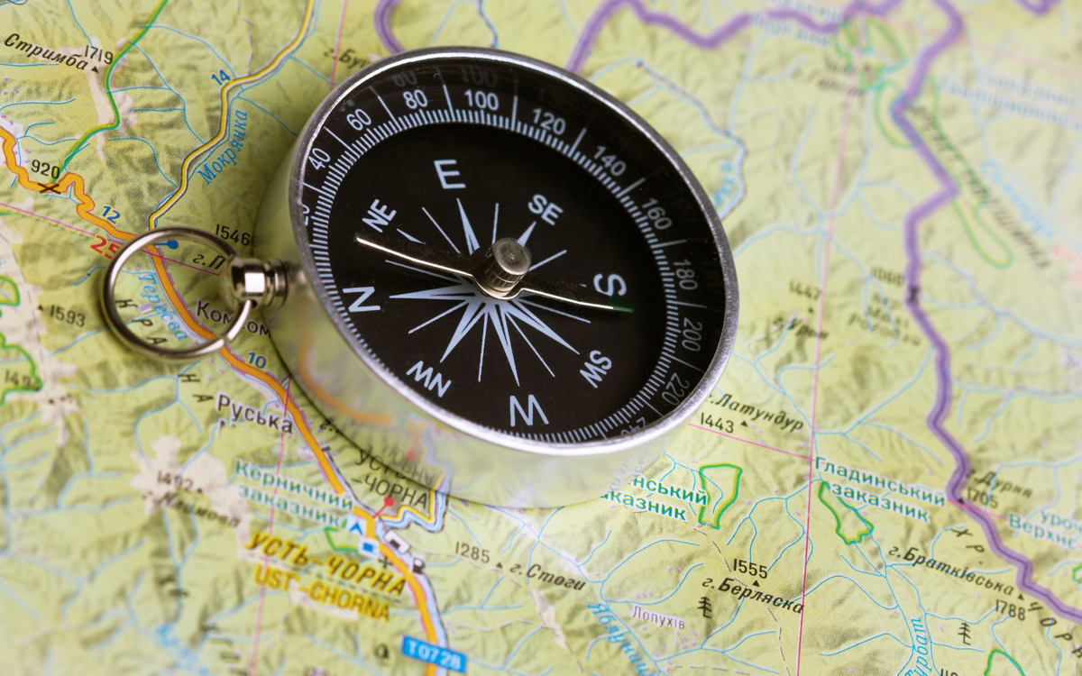
- Use the eight points of a compass, symbols and key.
More information about this session
Contact Us
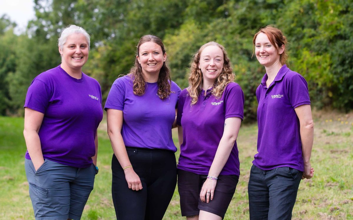
If you would like further details, please contact our friendly Outdoor Learning team to discuss your requirements.
Phone: 01908233600
Email: outdoorlearning@theparkstrust.com
Key Stage 2
View all Primary School sessions
Check out our range of curriculum based sessions for KS2.

