Mapping Masterminds
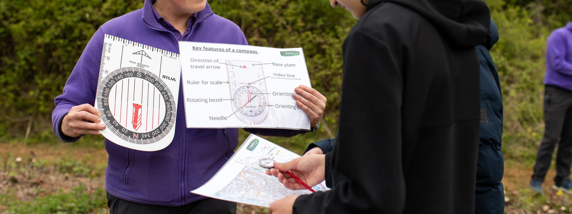
Give your students the chance to learn how to use a compass, take bearings and understand some of the key features of Ordnance Survey maps.
In this session, students will receive instruction on how to use a compass. They will learn how to take a bearing and to understand some of the key features of Ordnance Survey maps.
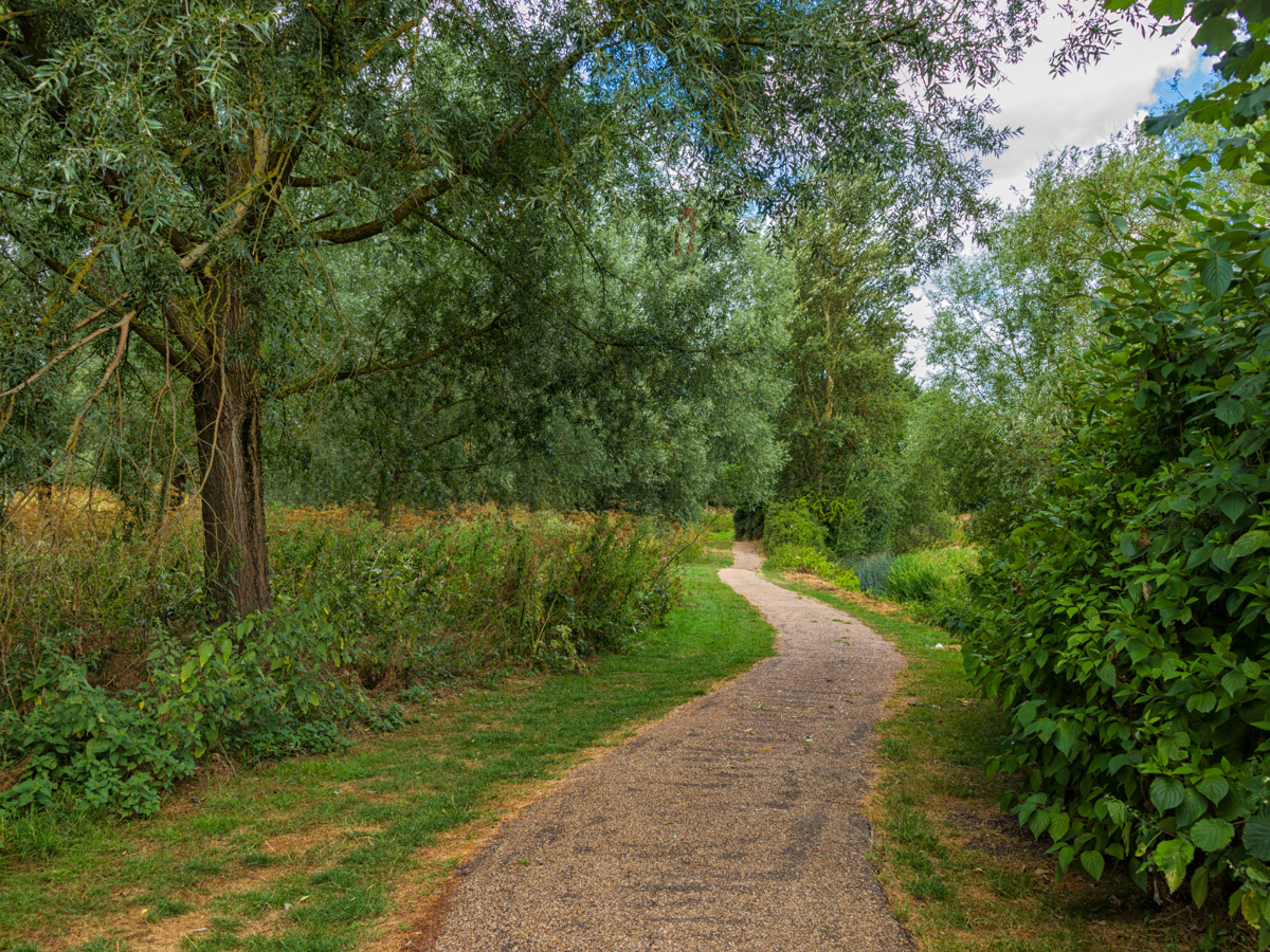
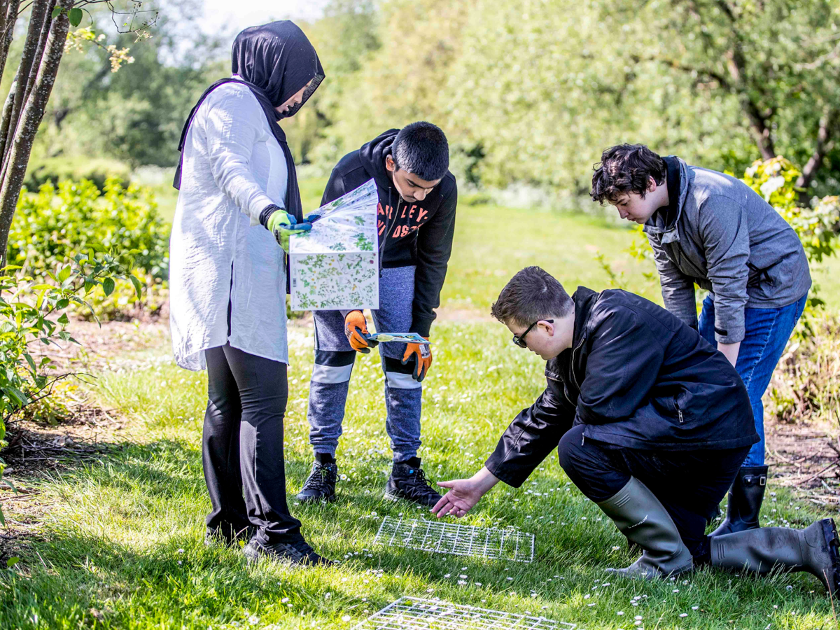
They will use their new skills to navigate around the park following a trail and answering questions to solve a puzzle. A great opportunity to learn the basics of map reading within the setting of our beautiful parks. Suitable for Key Stages 3 and 4.
National Curriculum links
Key Stage 3 - Interpreting Ordnance Survey maps in the classroom and the field, including using grid references and scale, topographical and other thematic mapping, and aerial and satellite photographs.
Key Stage 4 - Applying geographical knowledge, understanding, skills and approaches appropriately and creatively to real world contexts, including fieldwork, and to contemporary situations and issues; and develop well-evidenced arguments drawing on their geographical knowledge and understanding.
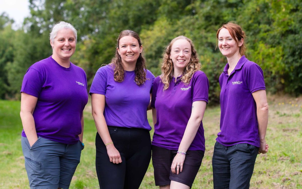
If you would like further details, please contact our friendly Outdoor Learning team to discuss your requirements.
Phone: 01908233600
Email: outdoorlearning@theparkstrust.com
Check out our range of curriculum based sessions for Key Stages 3, 4 and 5.

