Woughton on the Green Medieval Village
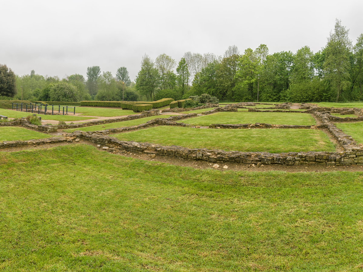
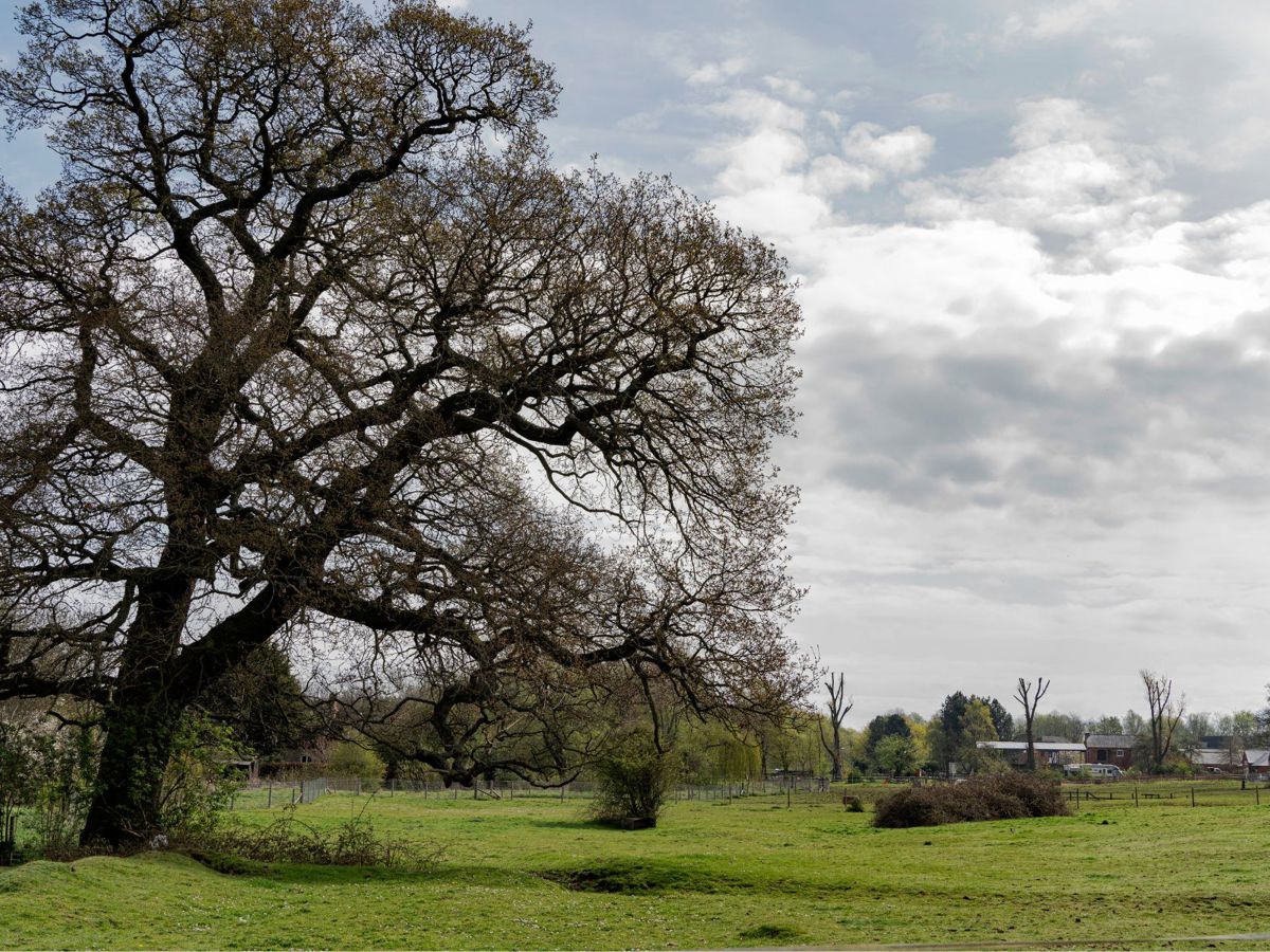
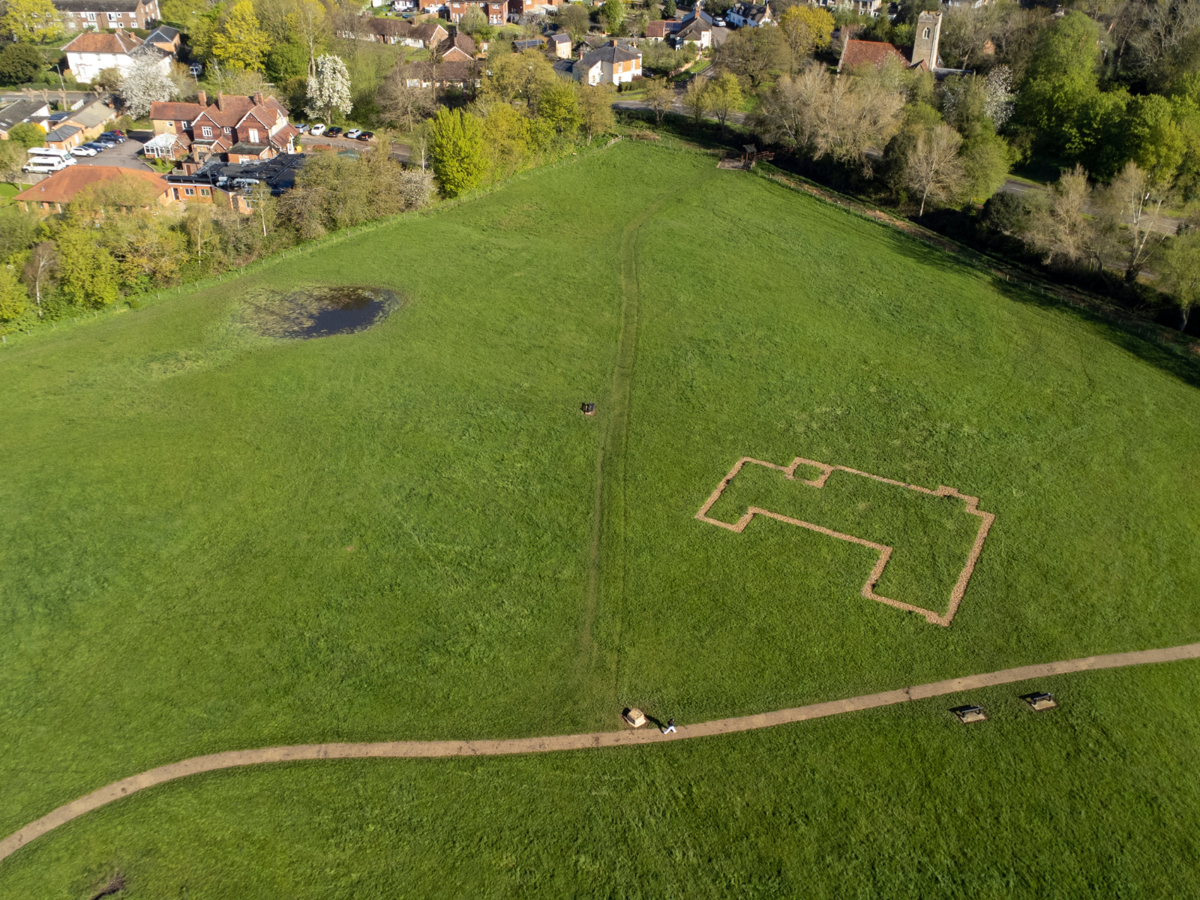
The shrunken medieval village, sited in the parkland of Woughton on the Green, has clearly defined earthworks with some of the best-preserved ridge and furrow in Milton Keynes.
The village would have stretched from the Grand Union Canal to the River Ouzel and was formed along a central track.
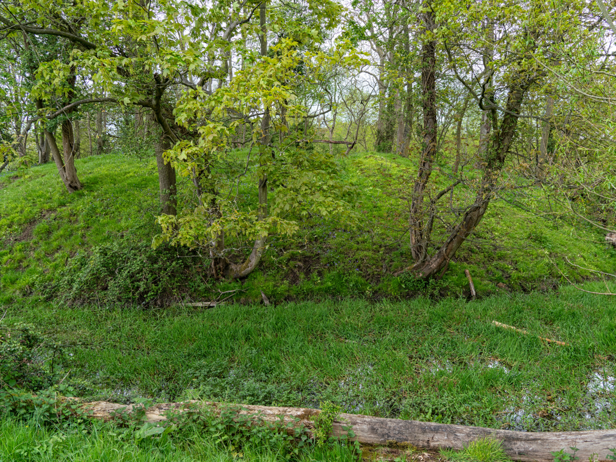
The earthworks show the remains of small garden crofts, house platforms and back alleys. Ridge and furrow evidence shows signs of early ploughing with a distinctive S-curve.

Up until the 17th century, houses, crofts and farms occupied what is now the grazing land of the Ouzel Valley Park and Woughton’s ‘village green’. These areas were then abandoned, and houses and farms were rebuilt towards the edge of the village in the area towards what is now the Grand Union Canal. This is why it is referred to as a shrunken village.
It is unclear as to why the medieval village was abandoned.
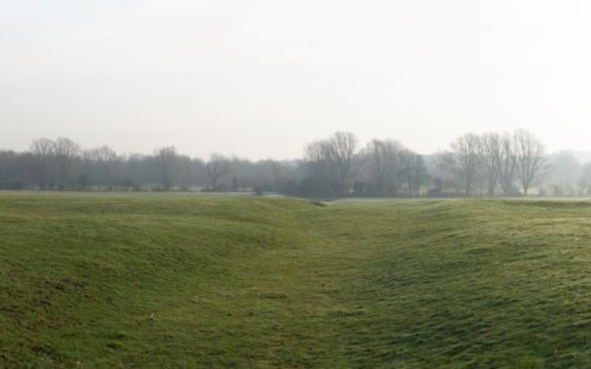
One of the key features within the parkland of Woughton-on-the-Green is the former village street ‘Meadows Lane’ denoted now by a sunken strip that can be viewed from a bridge overlooking the earthworks (see photo).
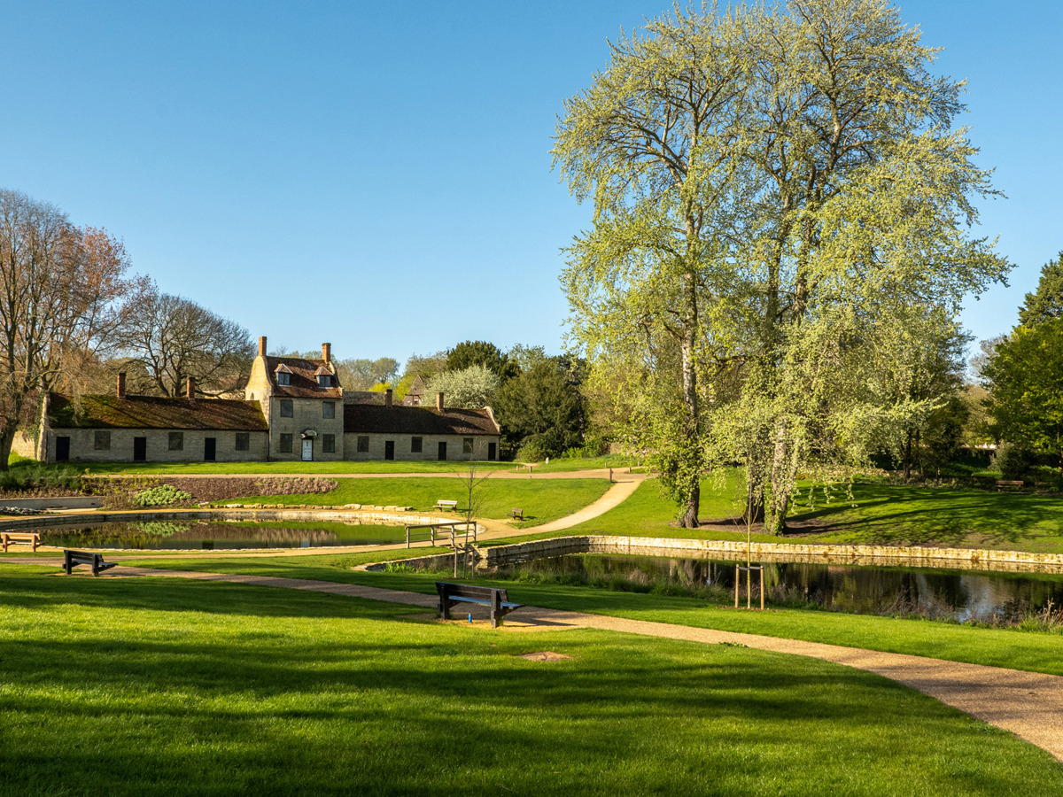
Behind this is St. Mary's church, the only surviving medieval building in Woughton. The present Woughton House Hotel likely occupies the site of the original medieval manor house.
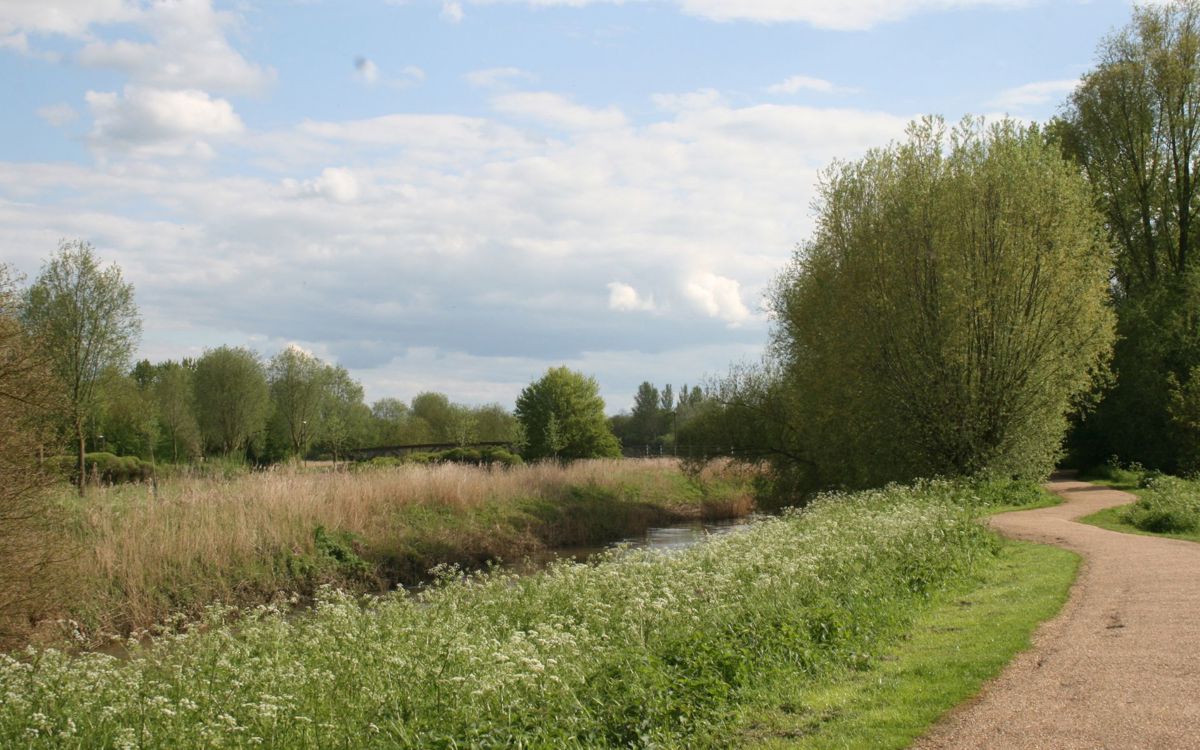
The earthworks can be explored at What3Words location flame.bumpy.ship.
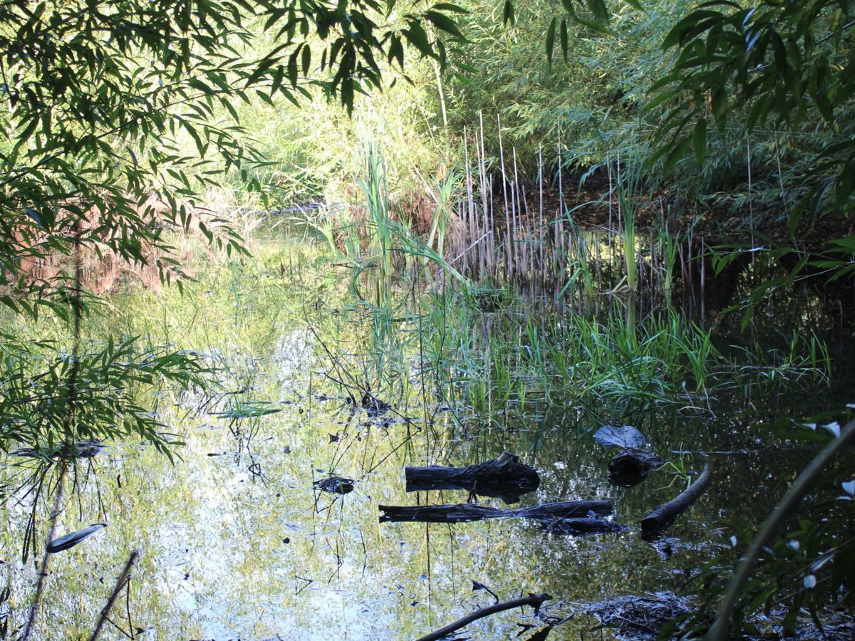
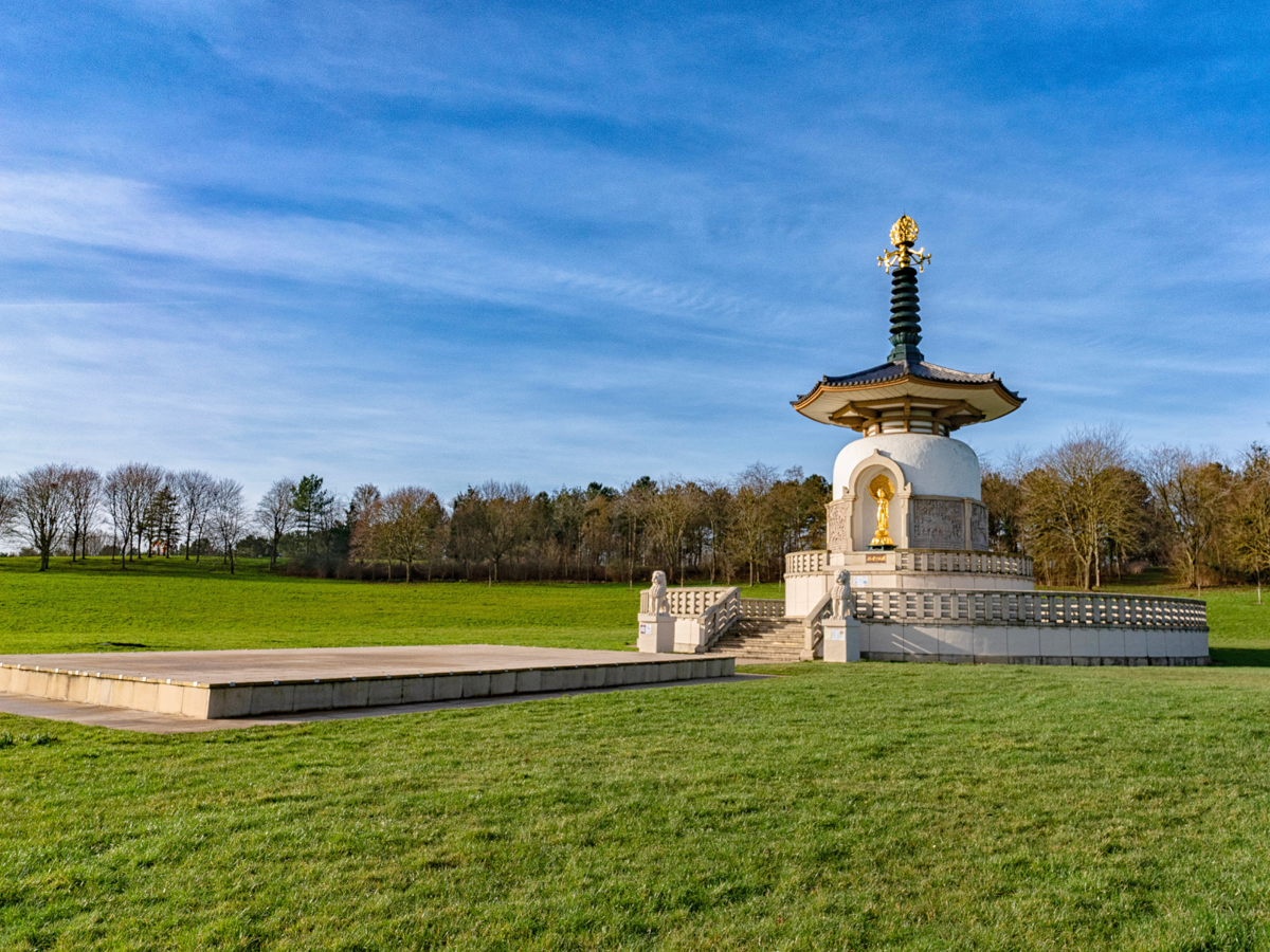
Woughton on the Green connects to the wider Ouzel Valley Park which meanders from Caldecotte Lake to Willen Lake. During your visit you'll be able to see many historical sites, livestock grazing and wildlife along the river.
Discover Milton Keynes' heritage by exploring the city's historical landmarks and scheduled ancient monuments.

