Ouse Valley Park
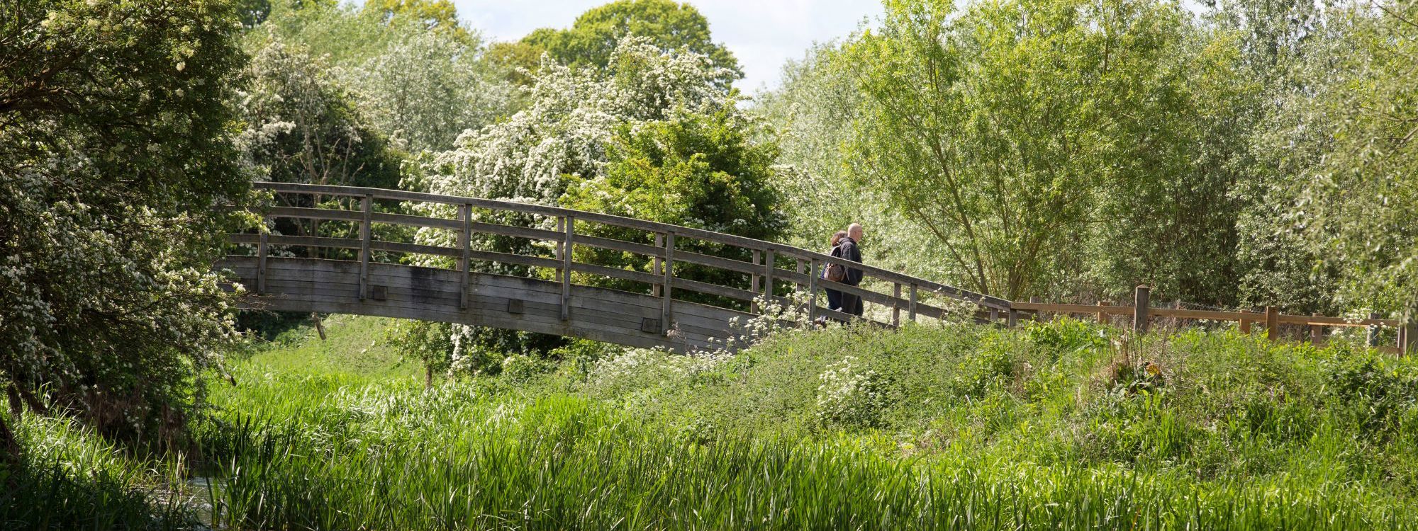
Rolling down to Great Ouse River, this linear park is a gem in the north of Milton Keynes.
Facilities
About Ouse Valley Park
Step out of the city with a visit to Ouse Valley Park, a linear park that is a fantastic place to enjoy a walk, run or cycle. Either wander along for a peaceful adventure, take in the abundance of wildlife, or look out for the historical sites that make up the history of Milton Keynes. This area has so much to do and explore, making it a great place to plan a visit for a day.
North of the River Ouse is Floodplain Forest Nature Reserve. A marvellous site for nature enthusiasts located in the river valleys of Old Wolverton. A series of channels and pools have been created to form a complex wetland habitat that is attractive to a wide diversity of wildlife. Easy access paths and bird observation hides are provided to maximise the enjoyment of visitors.
Go further west and come across Stony Stratford Nature Reserve, located between Queen Eleanor Street and the A5. This reserve is home to several artificial wetland habitats that waterfowl and waders use mainly. Originally used for gravel working, we have managed this site to enhance the quality of life, including the forming of a new island, a new pond and several ditches. A bird hide is provided to see the landscape of the main lake and meadows.
Wildlife
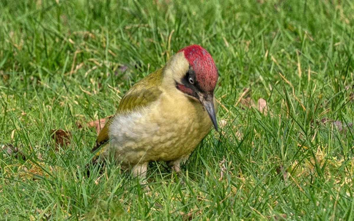
Scrub and marshy regions border the canal's path through the park, providing an excellent habitat for various birds. Lesser spotted Woodpeckers can sometimes be seen in the upper branches of the hybrid Black Poplars which line the avenue up to Wolverton Mill. While along the river itself, you may be lucky enough to see Kingfishers or Little Grebe.
The mix of ancient trees, hedgerows, meadows, and recently created wetlands and tree plantations combine to provide excellent habitats for wildlife - which will be further enhanced as the Floodplain Forest Nature Reserve develops over time.
History
Water Mills have been a feature of the Ouse river valley since the Domesday Book surveys in 1086. Those at Wolverton Mill and Stony Stratford would have been extended and rebuilt many times over the centuries. The Stratford mill was destroyed by fire in 1985 but was rebuilt on the original floor plan as private apartments. Its millrace, which had long been dammed and practically static, has now been reopened. Wolverton Mill was last rebuilt in the 18th century and is now under private ownership.
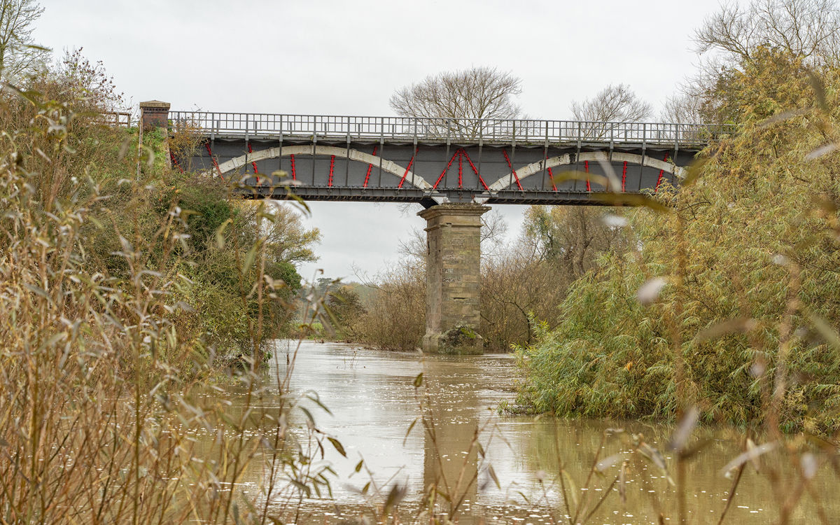
The Iron Trunk Aqueduct carries the Grand Union Canal 11 metres over the Ouse and connects Wolverton and Cosgrove. The Grand Union Canal was built between 1793 and 1805 to link London and Birmingham, carrying a wide range of goods in horse-drawn narrow boats. The canal has a waterside path and is a popular route for walking, cycling, and pleasure boating. There are steps up to the canal from the riverside walk and a narrow tunnel originally used for cattle which takes the path under the canal.
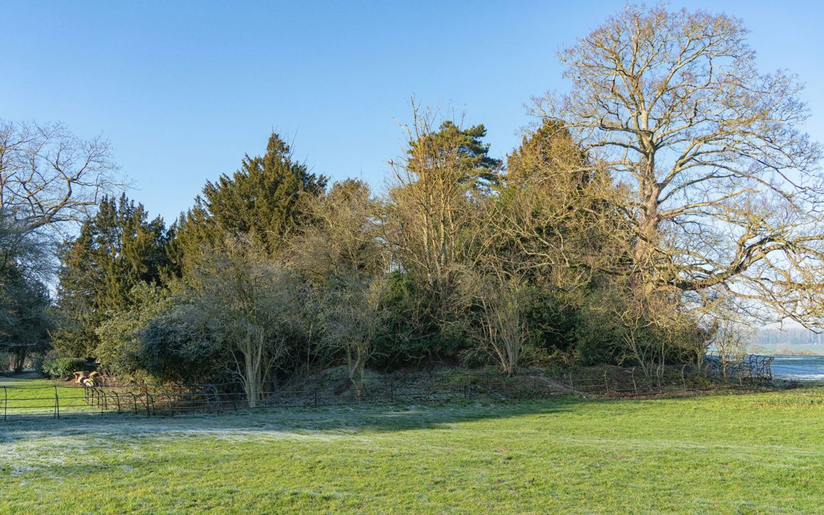
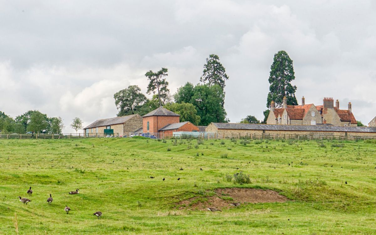
Holy Trinity Church stands on what was formerly the site of Wolverton Motte and Bailey (the large mound behind the church is all that remains currently). This was built in 1100 AD by the Wolverton family, who made it the centre of their extensive estate. The remains of the other estate buildings and the homes of the villagers who worked it can still be seen in the lumps and bumps across the fields both east and west of the church.
Manor Farm Court stands on the site of a large medieval farm established here by the Oxfordshire priory of Clattercote. The earliest buildings that remain on the site date from the 17th century, but most of the farm was rebuilt in the early 19th century. After falling into disrepair, the farmhouse has been refurbished and sympathetically converted into apartments, while The Parks Trust has transformed its outbuildings into modern business units that are available to rent.
Click on the + icons below to find out information about visiting the park.


